

«Easy» is the most abused word in the Dolomites. On travel blogs it means anything at all: some call a trail with seven hundred metres of ascent easy, others call a stroll across a plateau demanding. The result is that inexperienced walkers set off without really knowing what is coming.
We have done the opposite here: twelve short routes in the Belluno Dolomites, with times and grades taken from the bodies that manage them — the Belluno Dolomites National Park, and Veneto Agricoltura for the Cansiglio plateau. No estimates of ours, no numbers rounded for effect.
First: what «easy» actually means in Italy
Italian trail difficulty follows a CAI scale, and it is printed on every signpost. Learn it once and you never end up on the wrong path.
- T — Turistico (tourist). Roads, mule tracks or wide, well-marked paths, gentle gradients, no navigation problems. This is the grade of nearly everything on this list.
- E — Escursionistico (hiking). Real mountain paths, sometimes narrow or on rough ground, with steep sections. Boots and a bit of fitness required.
- EE — For experienced hikers. Exposed traces, rocky passages, navigation that is not obvious.
- EEA — Equipped. Via ferrata: kit, helmet and harness compulsory.
On the Cansiglio, managed by Veneto Agricoltura, the scale is different and simpler: low, medium, high. We have kept it as they publish it.
The twelve
| Route | Area | Time | Grade |
|---|---|---|---|
| I Cadini del Brenton | Valle del Mis | 30 min | T |
| Val Falcina | Valle del Mis | 2 h | T |
| Lago della Stua loop | Val Canzoi, Feltre area | 4 h | T |
| La via dell’acqua Veses | Feltre area | 2 h | T |
| Trugno | above Norcen, Feltre area | 1 h 30 | T |
| The lost castles trail | Park gateway | 2 h | T |
| Buss del Buson | Ardo valley, Belluno | 1 h 30 | — |
| The chestnut loop | Valbelluna | 1 h 30 | T |
| Between fields and Masiere | Valbelluna | 1 h | T |
| Alpine Botanical Garden | Cansiglio | 4.1 km · 1 h | low |
| Casoni I Pich | Cansiglio | 4.1 km · 1 h | low |
| Cimbrian Village | Cansiglio | 5.7 km · 1 h 30 | medium |
Valle del Mis: a short walk inside the rock

1. I Cadini del Brenton. One kilometre, thirty minutes, grade T, starting in the Valle del Mis at 433 metres. It is the shortest route in the Park and probably the most photographed: around fifteen deep potholes carved by the Brentòn stream, which drops through them in small waterfalls, with colours and shapes that look machined. The same path reaches the terrace over the Soffia waterfall. Half an hour of walking for one of the finest things in the province: the best effort-to-reward ratio we know.
2. Val Falcina. A two-hour loop, grade T. The Park calls it «an easy ring route with a wild charm», which is exactly right: you stay low, but the valley is narrow and closed and feels far further from home than it is.
The Feltre area: water, castles and meadows

3. The Lago della Stua loop, in Val Canzoi. Four hours, grade T; the Park describes it as «a simple route around Lago della Stua». It is the longest of the twelve and still tourist-graded, because there are no serious gradients: it is a matter of legs, not technique. The valley floor is a submontane beech wood that in October is worth the trip on its own — see our guide to the Belluno Dolomites in autumn.
4. La via dell’acqua Veses. Two hours, T. The Park calls it «the gateway to the Park» and it follows the watercourse: the kind of route that works on a grey day too, because the view is not the point.
5. Trugno. An hour and a half, T, «through woods and meadows above Norcen». Little walked, with the classic structure of cultivated pre-Alpine landscape fading into forest.
6. The lost castles trail. Two hours, T. A route of ruins and vanished defensive positions, good for anyone who needs a story to get walking — and for teenagers, who usually need one more than adults do.
Valbelluna: the mountain ten minutes from home
7. Buss del Buson. An hour and a half, in the Ardo valley above Belluno. It is a gorge cut into the rock, a canyon in miniature that almost no visitor knows and that people from Belluno use as their Sunday exercise. The long path to Rifugio 7° Alpini also starts here, but the Buson on its own is already an outing.
8. The chestnut loop. An hour and a half, T. It crosses the chestnut groves of the foothill belt, which are a built landscape: trees planted and tended for generations, not spontaneous woodland. In October it is also a harvest, with the caveat that applies everywhere in the province — in private chestnut groves you do not pick without the owner’s consent.
9. Between fields and Masiere. One hour, T. The masiere are the dry-stone walls and heaps of stones cleared from the fields: here the path crosses a piece of the Valbelluna in which farm labour drew everything you can see. It is the shortest way to understand why this valley floor looks like no other.
Cansiglio: the plateau where you never climb
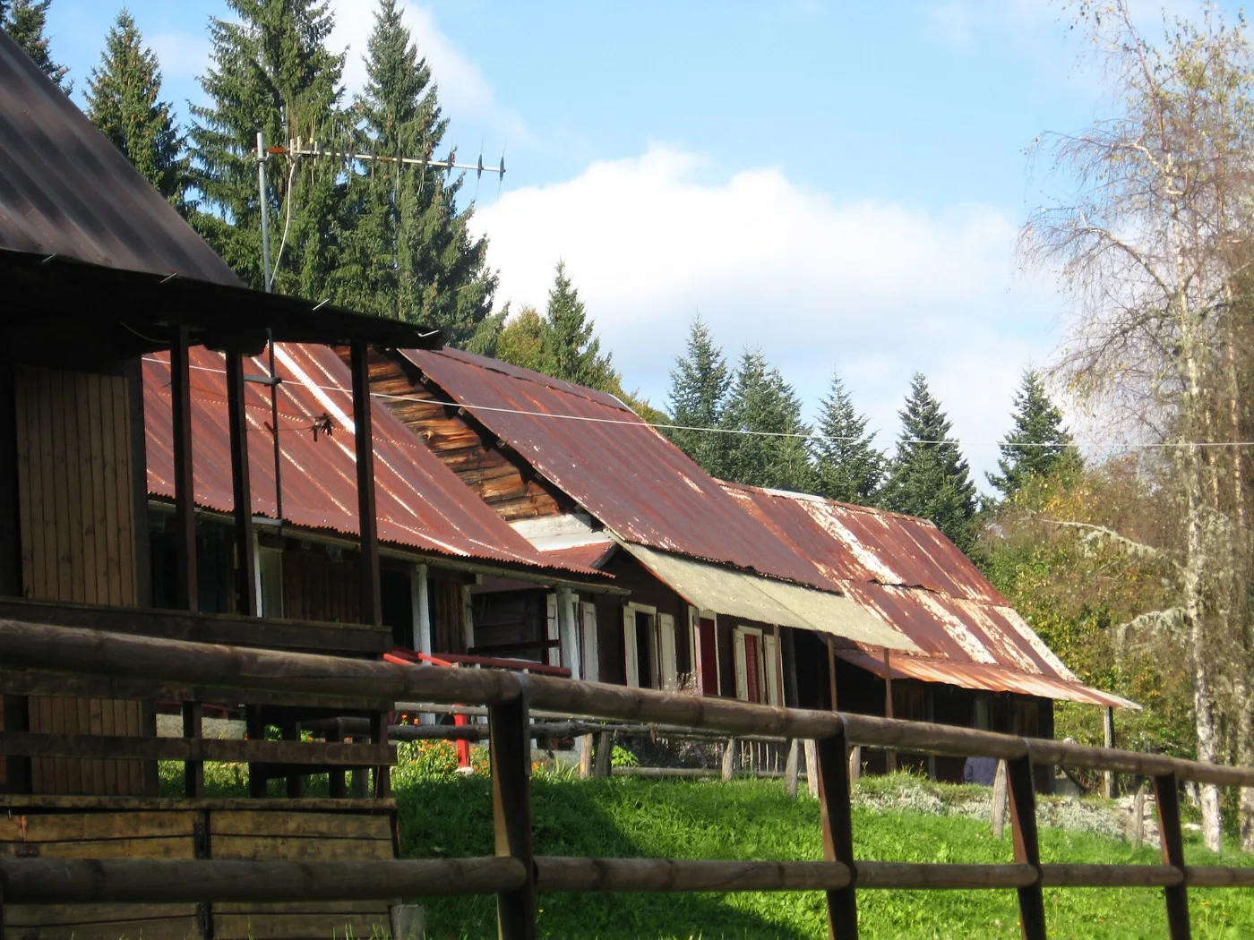
The Cansiglio is the single best plateau for anyone who does not want ascent: you drive up to altitude, and from there you walk on the flat inside the beech forest that Venice grew for the oars of its galleys. Veneto Agricoltura publishes the routes with distances and times calculated at four kilometres an hour.
10. The Alpine Botanical Garden route. 4.1 kilometres, one hour, difficulty low, starting from the Archeton area. The introductory loop: forest, clearings and the botanical garden.
11. The Casoni I Pich route. 4.1 kilometres, one hour, difficulty low, starting from the Cansiglio hangar. Same length, different world: the casoni are the plateau’s shepherds’ shelters.
12. The Cimbrian Village route. 5.7 kilometres, an hour and a half, difficulty medium, also from the hangar. It leads to the villages of the Cimbri, the German-speaking minority who arrived in the eighteenth century to work the timber: log-built houses, low roofs, a world that is disappearing and that you can cross on foot in an afternoon.
If you want more on the plateau there is the Le Code route (6.7 km, 1 h 45, difficulty medium) and the Cansiglio Ring (13.4 km, 3 h 15, difficulty high).
And if twelve is not enough

The Val Pramper nature trail, in the Val di Zoldo, takes two and a half hours and is graded E: the next step up, the one that tells you whether your legs are ready for a real mountain path. Do it after three or four of the twelve above, not before.
At the gateways to the Park there are also two half-hours worth knowing if you have very small children or very little time: «Di terra e d’amore», dedicated to Cesare Dalfreddo, and «La biodiversità coltivata», which the Park describes as «the Jurassic Park of apples» — an orchard of recovered heritage varieties.
The Cadini del Brenton: the rules to know
It is the only one of the twelve with regulated access, and it is worth arriving prepared.
- During the open season there is an information point with an entrance ticket. The last figure published by the Park is 2 euro, with free entry for residents of the Park’s 15 municipalities, under-12s, over-65s and visitors with disabilities. Some sources report a higher 2026 fee, and the updated calendar is not published on the Park website as we write: check before you go. Outside the information point’s hours access is free.
- Swimming in the potholes is forbidden, and so is lying on their edges.
- Stay on marked paths, keep dogs on the lead, do not pick flowers or plants.
- Parking is at the far end of Lago del Mis, in the La Soffia locality near the bridge. Spaces are few: on summer weekends, arrive early.
The Valle del Mis is covered in full in our guide to the Belluno Dolomites National Park.
With children, with a dog, with little breath
With children. The four routes of an hour or less — Cadini del Brenton, Between fields and Masiere, «Di terra e d’amore», «La biodiversità coltivata» — work even with toddlers. From about six or seven upwards you can add the Cansiglio routes, which are flat and on a wide surface: a sturdy pushchair gets along the main sections.
With a dog. Every route listed here can be walked with a dog on the lead. Inside the National Park the lead is not advice but a rule, and there is a precise reason: chamois, roe deer and red deer live here, and a loose dog makes them run, burning energy that in winter can cost them their lives.
With little breath. The right measure is not distance, it is ascent. A flat four-kilometre loop on the Cansiglio is easier than one kilometre uphill. If you are not fit, start on the plateau.
When to go
Valley-floor and mid-mountain routes are walkable for most of the year, but three points change the day.
Spring. April to June is the best window for the Feltre area and the Valbelluna: meadows in flower, full streams, the right temperature. There is still snow high up, but these routes never get there.
Summer. The narrow valleys stay cool even in August; the Cansiglio plateau, with its thermal inversion, is comfortable always. The summer problem is not the heat, it is the parking.
Autumn. The best season of all, for the colours and for the silence. But watch the short days: in narrow valley floors the sun goes behind the ridges long before the official sunset time.
Winter. The low routes stay walkable almost always, with micro-spikes in the pack if it has frozen. On the Cansiglio, under snow, the same loops become snowshoe routes.
What to put in the pack
- Shoes with a proper sole. Most of these routes do not need boots, but city shoes on wet rock are the fastest way to ruin the day.
- Water: a litre each, because there is almost never any along the way.
- A light waterproof shell. Mountain weather changes at four hundred metres too.
- A charged phone, knowing there is no signal in the narrow valleys.
- A bag for your rubbish. Peel included.
Frequently asked questions
Do I need a guide?
No, these are all marked routes graded T. A guide changes what you see, though: the National Park’s official guides are those of the Cooperativa Mazarol.
Can they be done as a day trip from Venice or Treviso?
Yes. The Cansiglio and the Valbelluna are just over an hour from Treviso; the Valle del Mis and the Feltre area a good hour and a half from Venice. They are the most underrated day trips in the Veneto.
Which one if I only have a single day?
Valle del Mis: Cadini del Brenton plus the Soffia waterfall in the morning, Val Falcina in the afternoon. It is the combination that gives most for least effort, and all of it is inside the National Park.
Are they suitable in the rain?
The water routes — Cadini del Brenton, via dell’acqua Veses, Buss del Buson — are better in damp weather, but wet rock is slippery and streams in spate deserve respect. After a heavy storm, postpone.
Are any accessible with a wheelchair or a pushchair?
The Cansiglio routes, flat and on a wide surface, are the most suitable on their main sections. For the Park routes it is worth asking the Park directly, because passability changes with maintenance and season.
The advantage of starting low
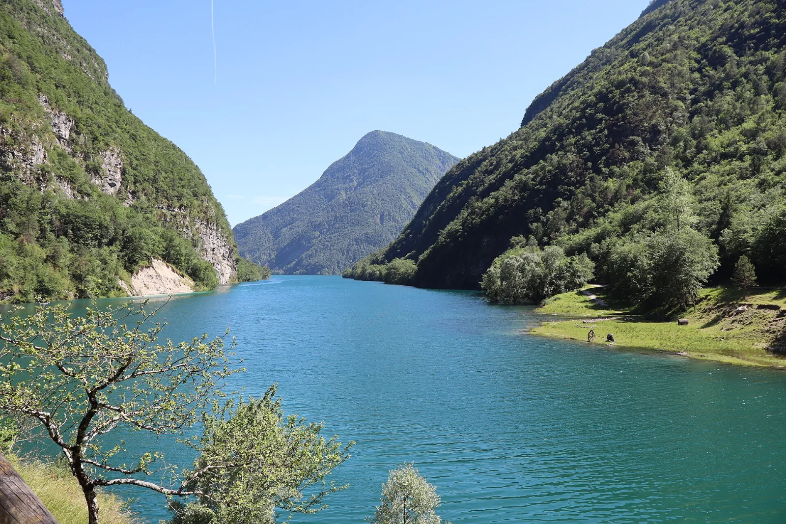
There is a prejudice worth dismantling, and it is specific to the Dolomites: that the good stuff is high up. In the Belluno Dolomites it is not. The gorges, the potholes, the centuries-old beech woods, the Cimbrian villages, the chestnut groves, the masiere — all of it lies between four hundred and a thousand metres, half an hour from the car, and almost none of it appears in the photographs that circulate.
People who start here do not settle for less. They start with the part almost nobody looks at — and then, if they want, they climb.
Keep exploring
- Belluno Dolomites National Park: what to see and how to visit
- Staying in a mountain hut: how it really works
- The Belluno Dolomites in autumn
- The lakes of the Belluno Dolomites
- The Alta Via trails: which one to walk
Cover image: a woodland path in the Belluno Dolomites National Park. Photo: Zenone Sovilla, Wikimedia Commons, CC BY-SA 4.0.


